Solar development maps: Where is there less conflict?
Not everyone loves renewable energy development, but a new project in Washington – and an upcoming project in Oregon – hope to pinpoint places where building solar farms should cause less conflict.
“There were some sharp elbows around some of the policies to resolve some of the siting conflicts,” said Dani Madrone, with American Farmland Trust.
More renewable energy projects will soon pop up – so Oregon and Washington can meet their carbon-free electricity goals. But where should all those projects go? Picking the right places to build large solar farms can help protect wildlife, farmers, ranchers and nearby communities.
Madrone was part of a committee that looked at important areas for wildlife, farm and ranchland in about one-third of Washington. The recently released maps in the central and southeastern parts of the state highlight good areas for solar that should cause the least amount of conflict.
Madrone said one goal was to learn from the harm caused by other energy projects, like dams.
“It’s important that we think through the consequences, the long term impacts, so we don’t end up repeating some of the mistakes that we’ve made in the past around how we site energy projects,” she said.
The mapping tools are available online and can help developers drill down into exactly what resources are important in the areas they would like to develop, said Karen Janowitz, the program manager for Washington State University’s Energy Program.
“Those solar developments could be built quicker because there would be less dispute with them,” she said.
The maps are modeled after a similar process in central California’s San Joaquin Valley.
In Washington, lawmakers devoted $500,000 to WSU’s least-conflict solar siting program.
“We can make the best use of our limited land available,” Madrone said.
The maps don’t include culturally-sensitive information for tribes or information on tribal land. Tribes did not approve the maps and noted that the maps won’t be a replacement for on-the-ground surveys.
Tribes also said they must be engaged at the very beginning of talks about solar project siting.

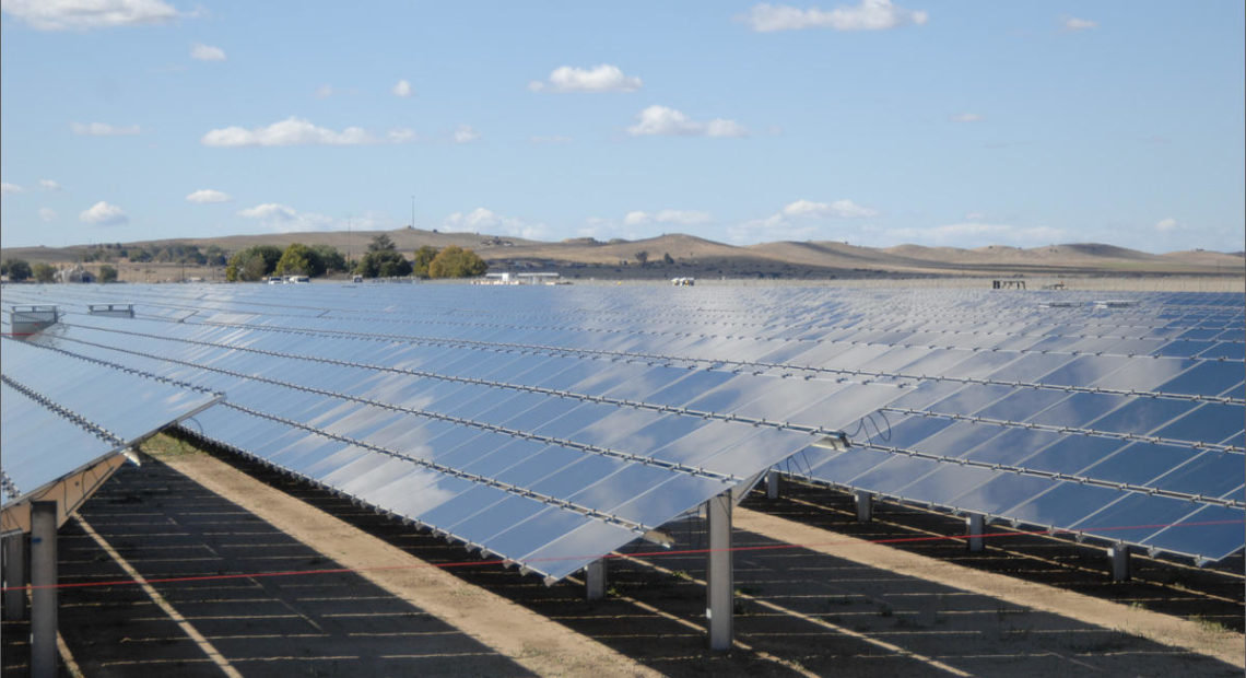
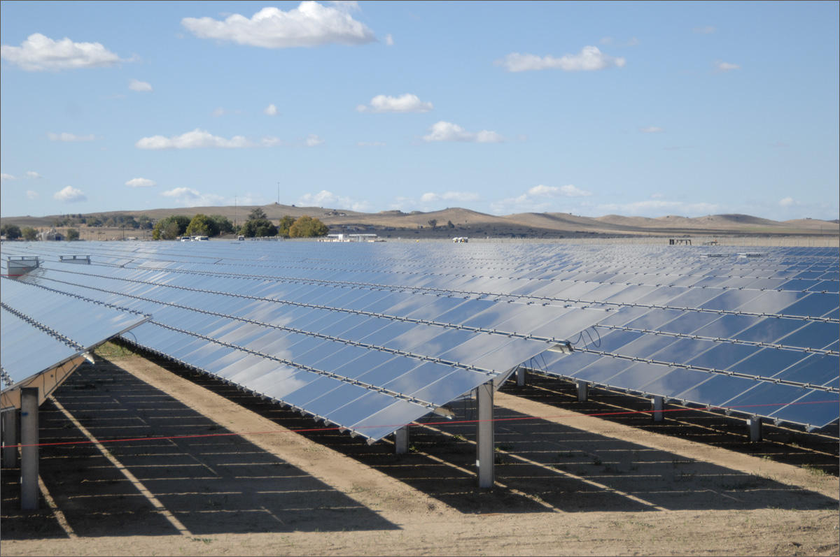
(Courtesy: Washington State University Energy Program)
Still, the maps give a good visual sense of what’s going on, on the land, Madrone said. They found around 200,000 acres that could be suitable and cause less conflict for solar development.
To help fast-track renewable energy development, the Washington State Department of Ecology is planning on an environmental review for some of the areas that aren’t yet part of any specific project, a spokesperson said.
Other questions still exist, Madrone said.
“How many acres do we actually need for solar development to meet our goals in this state?” she asked. “But this tool is a very, very good first step.”
It’s a question the Oregon legislature also hopes to answer. During this latest session, lawmakers there passed legislation to start identifying least-conflict solar sites in the eastern part of the state.
“[It will] really get some maps out on the ground: Where are the transmission lines? Where are the lower-value soils? Where are the irrigation districts? Where are critical wildlife corridors?” said Mary Kyle McCurdy, deputy director of 1000 Friends of Oregon.
The hope is, McCurdy said, that these maps will also streamline the solar development process.
In the end, Madrone said more renewable energy development is needed to help slow climate change.
“We have to figure out how to make this work for everybody,” Madrone said.