Growing Human-Caused Wildfire Threatens Homes In Columbia River Gorge
What impacts did wildfires have on the Northwest this summer?
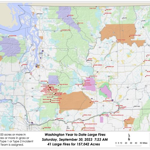
Autumn has knocked on our doors and crossed our thresholds. With its arrival comes wetter, colder, darker days — perhaps some pumpkin-flavored treats as well — and hopefully, fewer wildfires. Heavy recent rainfall has dropped the wildfire potential outlook down to normal for the Northwest, according to the National Significant Wildland Fire Potential Outlook.
So, how did this summer fare compared to past fire seasons? Continue Reading What impacts did wildfires have on the Northwest this summer?
HWY 20 parcialmente reabierta: Bomberos trabajan activamente en la zona del incendio de Sourdough
La autopista estatal 20 había sido cerrada entre Newhalem y Rainy Pass, en el condado de Whatcom, ya que es el principal punto de acceso para los bomberos que trabajan en el incendio de Sourdough. Continue Reading HWY 20 parcialmente reabierta: Bomberos trabajan activamente en la zona del incendio de Sourdough
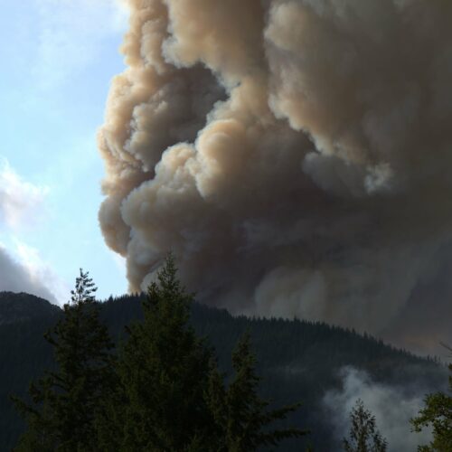
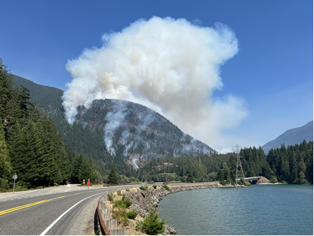
Part of HWY 20 reopened, firefighters still actively working in area as Sourdough Fire burns
Scenic State Route 20 which runs through North Cascades National Park is now reopened.
The highway had been closed between Newhalem and Rainy Pass in Whatcom County, as it is the main access point for firefighters working the Sourdough Fire. Mark Enty, public information officer with Northwest Incident Management Team 10, said crews are still working in the area and drivers should be extra cautious.
Continue Reading Part of HWY 20 reopened, firefighters still actively working in area as Sourdough Fire burns